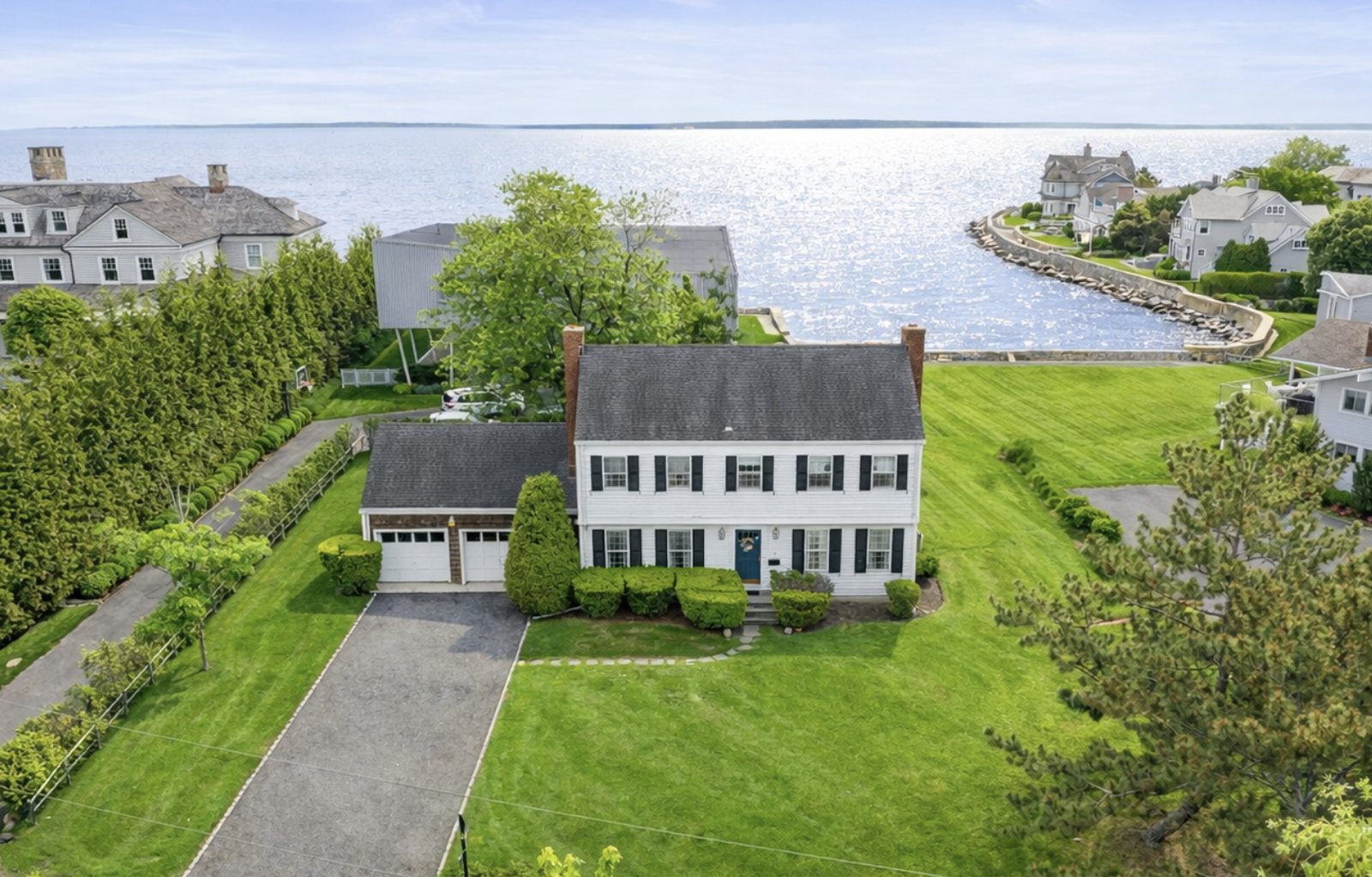
Buying a Waterfront or Flood-Zone Home in Greenwich CT: FEMA Zones, Flood Insurance and Coastal Rules

Check the exact address on FEMA’s flood map before you make an offer. Zones A and V require flood insurance on a federally backed mortgage, and Greenwich requires new or substantially improved buildings to sit one foot above base flood elevation.
Standard homeowners policies exclude flood, so get a quote first.
Start with the map, not the listing
A listing can say waterfront, water view or near the water. None of those terms is a flood zone. FEMA draws the flood zone boundaries, and the Town of Greenwich states that FEMA’s maps are the only document that can legally determine which properties are within a designated flood zone. Look up the address in FEMA’s Flood Map Service Center (msc.fema.gov), choosing the state, county and town.
Greenwich has participated in the National Flood Insurance Program since October 18, 1974. Its flood insurance study and maps were most recently revised in 2013, according to the town’s hazard mitigation plan annex. Zone, base flood elevation and the home’s actual elevation are three separate facts. You need all three.
What the FEMA zones mean
FEMA groups flood zones by risk. The Special Flood Hazard Area is the high-risk set, and it drives the lender rule.
| FEMA zone | Risk level | What it means for a buyer |
|---|---|---|
| A, AE, AH, AO, AR, A99 | High risk | Special Flood Hazard Area. Flood insurance is required if the loan is federally backed. |
| V, VE | High risk, coastal | Special Flood Hazard Area with an added wave hazard along the coast. Same insurance requirement. |
| B and shaded X | Moderate risk | Outside the Special Flood Hazard Area. Insurance is not required by the federal rule but is available. |
| C and unshaded X | Minimal risk | Outside the Special Flood Hazard Area. Insurance is not required by the federal rule but is available. |
Source: FEMA, floodsmart.gov flood zones. Zone and BFE can change when FEMA revises the maps, so read the current panel for the address.
The zone is only a map category. FEMA reports that one-third of National Flood Insurance Program claims came from areas outside current high-risk flood areas, so a moderate or minimal zone is not a guarantee of dry ground.
Who has to carry flood insurance
The federal rule is narrow and specific. FEMA states that homes in a Special Flood Hazard Area must be protected by flood insurance if they secure a loan backed by a federally regulated lender. A cash buyer is not subject to that rule, and a home outside the Special Flood Hazard Area is not required to carry the policy under it. Your lender may still require more, so ask early.
Standard homeowners insurance does not fill the gap. The Connecticut Insurance Department’s consumer fact sheet (September 3, 2024) states that damage from flooding is excluded from typical homeowners, renters or business policies, and its definition of flood includes overflow of inland or tidal waters. The fact sheet gives no guidance on storm surge by name, so ask your agent how a policy treats it. Read the policy for any separate windstorm or hurricane deductible as well; the Insurance Department’s hurricane page tells consumers to review it but gives no percentages.
| Coverage | What the sources say |
|---|---|
| Standard homeowners policy | Excludes flood. The Connecticut Insurance Department’s flood definition includes overflow of inland or tidal waters and rapid runoff of surface water. |
| NFIP building coverage, home | Up to $250,000. |
| NFIP contents coverage, home | Up to $100,000, for an added premium. |
| Private flood policy | Offered by a limited number of insurers. Check the lender’s requirements if you have a mortgage. |
Sources: FEMA, floodsmart.gov buy a policy page; Connecticut Insurance Department fact sheet on storm water coverage and flood insurance (September 3, 2024).
A $250,000 building limit is a federal cap. A Greenwich waterfront home can cost more than that to rebuild, which is our inference, not a figure from FEMA. Ask your agent whether excess or private flood coverage is available for the property and whether your lender will accept it.
The 30-day wait, and when it does not apply
FEMA says flood coverage goes into effect 30 days after the date of purchase. There is no wait if you buy while making, increasing, extending or renewing a mortgage. A buyer financing the purchase can usually bind coverage for closing, but the wait matters if you are a cash buyer or add coverage later. Newly mapped high-risk areas have a one-day wait when the policy is bought within 12 months of the update.
How flood insurance is priced
New NFIP policies effective on or after October 1, 2021 are priced under FEMA’s Risk Rating 2.0. FEMA’s fact sheet lists proximity to flood sources, first floor height, the cost to rebuild, flood frequency and the types of flooding, including river overflow, storm surge, coastal erosion and heavy rainfall. Most annual increases for existing policyholders are capped at 18% until the premium reaches the full-risk rate.
The fact sheet does not mention elevation certificates, so we cannot say from it whether one changes a quote. Ask the seller for any existing certificate, and ask your insurance agent for a written quote on the specific address before you remove the inspection contingency.
What Greenwich requires for building and renovating
Development in Greenwich’s Flood Hazard Overlay Zone is governed by Section 6-139.1 of the Building Zone Regulations. The rules below are the ones a buyer most often runs into.
| Topic | What the Greenwich regulation says | Section |
|---|---|---|
| Lowest floor, A zones | The lowest floor, including basement, must be elevated at least one foot above base flood elevation (BFE). Applies to residential and non-residential buildings. | 6-139.1(f)(11)(A)-(B) |
| Lowest floor, V zones | The bottom of the lowest supporting horizontal member must be no lower than one foot above BFE. Pilings and columns are excluded from that measurement. | 6-139.1(f)(12)(B) |
| Substantial improvement | Cumulative costs of repairs, reconstruction, alteration or improvements that equal or exceed 50% of the structure’s market value, counted over the life of the structure from the effective date of the FIRM that made it non-compliant (8/19/1986, 2/22/1999 or 7/8/2013). | 6-139.1(c)(40) |
| Enclosures below BFE, A zones | No finished living space. Openings must allow flood water in and out, with at least one square inch of net opening per square foot of enclosed area, on at least two sides, and no higher than one foot above grade. | 6-139.1(f)(11)(D) |
| Enclosures below BFE, V zones | The space below the lowest floor may not be enclosed except with breakaway walls, lattice work or screening. | 6-139.1(f)(12)(K) |
| As-built elevation | A Connecticut licensed land surveyor must verify the as-built lowest floor elevation, and surveys and certifications must be provided before a Certificate of Occupancy. | 6-139.1(e)(3)(K), (e)(4) |
Source: Town of Greenwich Building Zone Regulations, Division 10, Section 6-139.1. Dry floodproofing in lieu of elevation applies to non-residential buildings only. Read the full section and confirm the current text with Planning & Zoning before you plan work.
The 50% rule is the one that surprises people. The count is cumulative and runs over the life of the structure from the FIRM date, so earlier work on the house can use up part of the threshold before you ever file a plan. A buyer who plans a large addition or a rebuild on a flood-zone lot should ask Planning & Zoning how the threshold applies before the offer, not after.
The town also sets limits on what can sit below the flood elevation. In A zones an enclosed area below BFE cannot be finished living space and must let water through. In V zones the space under the lowest floor may be enclosed only with breakaway walls, lattice or screening. A finished lower level on a flood-zone home deserves a question about how it was permitted.
State coastal rules for waterfront lots
Connecticut layers a second set of rules on the shoreline. The Department of Energy and Environmental Protection (DEEP) regulates activities in tidal wetlands and in tidal, coastal or navigable waters, and the coastal jurisdiction line is a land elevation on the North American Vertical Datum of 1988 based on a specific predicted tide. Seawalls, bulkheads, revetments, groins and residential docks are among the activities that need DEEP authorization. Construction landward of the line within the coastal boundary is subject to Coastal Site Plan Review by the municipality, as appropriate.
For a buyer, that means the existing seawall, dock or mooring is a diligence item. Ask the seller for the permits and any DEEP authorization for each structure, and do not assume that a feature visible in the listing photos is permitted.
What the Greenwich record shows
The town’s hazard mitigation plan annex (January 2021) states that flooding in Greenwich is considered likely in any given year, and that coastal storm surge from hurricanes and tropical storms can cause the most severe damage. It reports 117 repetitive loss properties in town, 109 residential and 8 non-residential, most along the Long Island Sound coast. It names Sound Beach Avenue in Old Greenwich as a road with frequent flooding, and it identifies Old Greenwich and Cos Cob as low-lying coastal areas and the Byram River corridor as a flood area. It reports more than 20 homes elevated under a grant tied to Superstorm Sandy. The annex does not state how many flood policies are in force.
The town’s Sandy study, written by Conservation Director Denise Savageau, reports a Greenwich surge of 11.24 feet at 7 p.m. on October 29, 2012, with an additional two to three feet of wave action in VE zones. She notes the surge arrived just after low tide and says a delay of about five hours could have caused catastrophic flooding. Greenwich GIS and the FIRM use NAVD 88, while the Stamford Hurricane Barrier uses NGVD, a difference of about 1.1 feet, so confirm which datum any elevation figure uses.
These figures describe the town, not any one house. Use them to ask better questions about a specific address.
A due diligence checklist
- Look up the exact address on FEMA’s Flood Map Service Center and save the panel, zone and base flood elevation.
- Ask the seller for any elevation certificate, survey and flood insurance history, including any past flood claims.
- Get a written flood insurance quote for the address, NFIP and private, before you finish your inspection period.
- Ask your lender whether the loan triggers the federal flood requirement and what coverage it will accept.
- Ask Planning & Zoning how Section 6-139.1 applies, including the 50% substantial improvement threshold and any finished space below BFE.
- For a shoreline lot, collect permits for the seawall, dock or mooring, and ask whether DEEP authorization or Coastal Site Plan Review applies to planned work.
- Check the homeowners policy for a separate windstorm or hurricane deductible.
- Match the datum on every elevation figure, NAVD 88 or NGVD.
Peter can line up these questions for any address you are considering. Our waterfront homes, Old Greenwich, Riverside and Cos Cob pages cover the markets themselves.
Frequently asked questions
How do I find out if a Greenwich CT home is in a flood zone?
Look up the address on FEMA’s Flood Map Service Center at msc.fema.gov. The Town of Greenwich states that FEMA’s maps are the only document that can legally determine which properties are in a designated flood zone. The Planning & Zoning Department can be reached at 203-622-7894.
Do I have to buy flood insurance on a Greenwich waterfront home?
You must if the home is in a Special Flood Hazard Area and the loan is backed by a federally regulated lender. Paying cash removes the federal requirement, not the risk. FEMA also reports that one-third of National Flood Insurance Program claims came from areas outside current high-risk flood areas.
How long before a new flood insurance policy takes effect?
FEMA says coverage starts 30 days after purchase, with no wait if you buy while making, increasing, extending or renewing a mortgage. Because a home purchase involves a new mortgage, buyers financing the purchase can usually bind coverage for closing. Confirm timing with your insurance agent.
Does homeowners insurance cover flood or storm surge in Connecticut?
No. The Connecticut Insurance Department states that damage from flooding is excluded from standard homeowners policies. Its definition of flood includes overflow of tidal waters. Also read the policy for any separate windstorm or hurricane deductible.
Can I add a second story or renovate a Greenwich home in a flood zone?
Yes, with limits. Under Building Zone Regulation 6-139.1, work that equals or exceeds 50% of the structure’s market value, counting cumulative costs over its life, is a substantial improvement, and the building must then meet current flood standards, including the lowest floor one foot above base flood elevation. Ask Planning & Zoning before you price a renovation. See Greenwich waterfront homes for the market.
Which Greenwich neighborhoods have flood risk?
Flood risk follows the address and the elevation, not the village name. The town’s 2021 hazard mitigation annex names Old Greenwich, Cos Cob and the Byram River corridor among the areas it identifies. Compare each address on the FEMA map. See Old Greenwich vs. Riverside and Which Greenwich Are You Buying?.
- FEMA, floodsmart.gov: flood zones; buy a policy (30-day wait, exceptions, $250,000 building and $100,000 contents limits).
- FEMA, National Flood Insurance Program: Why Do I Need Flood Insurance? (PDF): federally regulated lender requirement; one-third of claims outside high-risk areas.
- FEMA, Understanding Risk Rating 2.0 (PDF): effective dates, rating factors and the 18% cap.
- FEMA Flood Map Service Center, and the Town of Greenwich FAQ, What flood zone is my property in?.
- Town of Greenwich, Building Zone Regulations, Division 10 (PDF): Section 6-139.1, Flood Hazard Overlay Zone.
- WestCOG, Hazard Mitigation Plan Municipal Annex for Greenwich (PDF) (January 2021): NFIP participation, repetitive loss properties, areas at risk.
- Town of Greenwich, Sandy: A Look at Coastal Flooding (PDF), Denise Savageau, Conservation Director: surge, wave action and datum notes.
- Connecticut Insurance Department, storm water coverage and flood insurance (September 3, 2024), and its hurricane season page.
- Connecticut DEEP, Overview of the Connecticut Coastal Permit Program: coastal jurisdiction line, permits and Coastal Site Plan Review.
- The cumulative-cost reading of the 50% rule, the cap comparison and the checklist are Greenwich Home Intel’s summaries of the cited documents. We did not verify the current FEMA map panel for any property, the number of flood policies in force in Greenwich or the town’s current Planning & Zoning review procedures.
Check the flood zone before you bid.
A short, confidential conversation, with the specific homes you are considering, before you make an offer.
General information, not legal, insurance, engineering or financial advice. Flood zones, regulations, coverage limits and wait periods were checked against the cited FEMA, town and state pages in October 2026 and can change; confirm them with FEMA, the Town of Greenwich Planning & Zoning Department, your insurance agent and your attorney before you rely on them. This guide does not say whether the home in the photo, or any specific property, is in a flood zone. Fair housing law prohibits steering, and this guide does not rank or characterize neighborhoods. The photo shows a listing presented by another agent and is not an offer of that property.